
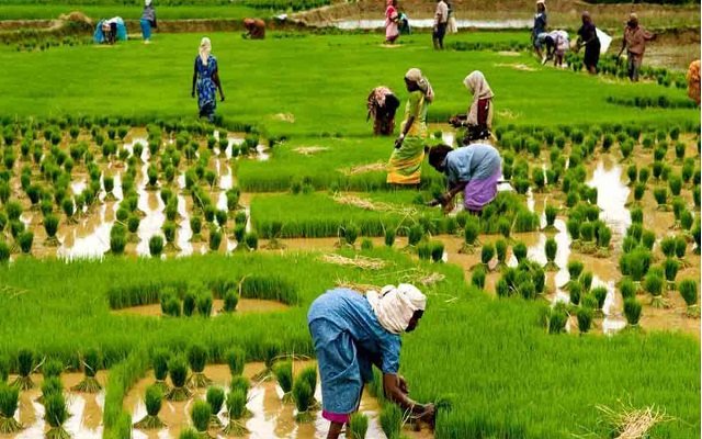
Improving information services via telecoms technology has been shown to boost rural earnings. Access to public telephones, particularly individual mobile phones, boosts agricultural output, promotes market access, and broadens marketing possibilities for rural producers. Precise agriculture has been made possible by the convergence of various technologies, including GPS, GIS, image analysis software, low-cost microcomputer-based variable rate controllers/recorders, and precision tractor steering systems.
While these technologies have enabled precision agriculture, there are still significant challenges to overcome in order for this new technology to be recognised and used. The majority of farmers will rely on commercial sources for picture processing and prescription map generation. The storage and retrieval of multi-megabyte data files for each field remain a difficulty.
The private sector is driving the telecommunications revolution in rural areas in most emerging countries. However, this does not rule out the possibility of the public sector playing a role. On the contrary, telecommunications penetration in developing nations is far from full, signifying a large untapped potential for additional improvements in rural incomes. Complementary investments in public goods such as infrastructure and services are essential for telecommunications to have the greatest impact on rural welfare.

Function Of AIS
The main functions of AIS are to gather, process, and communicate “ready-to-use” site-specific production data to the user on the machinery while the field operation is being performed. For example, while an agricultural sprayer is spraying nitrogen to a field, the AIS will detect the sprayer’s location in the field and wirelessly and in real-time send an appropriate nitrogen prescription for the specific spot to the sprayer, allowing for exact variable rate nitrogen application. A bare-bones AIS has a GPS sensor for gathering sprayer location data, a database for giving site-specific nitrogen prescription data, and a data transmission network to complete this duty.
Data Collection For Production
Field data collection is critical for successful precision agriculture operations, and reliable and timely data exchange between sensing and data processing units is required to make sensed field data meaningful to field operators. One of the most common field data collecting tasks in today’s agriculture industry is machinery location in the field during operation.
The equipment location provides crucial information for machinery navigation as well as essential information for all types of site-specific management. On agricultural machinery, GPS receivers are extensively employed to immediately measure absolute position in global coordinates using satellites.
Many ICT in agriculture or e-agriculture initiatives have been created and tried around the world to assist farmers in improving their livelihoods by increasing agricultural output and revenue or minimising risks. The World Bank’s e-sourcebook ICT in agriculture – connecting smallholder farmers to knowledge, networks, and institutions is a good place to start learning about e-agricultural in practice.


