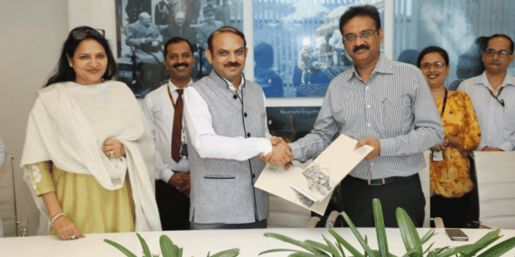
TAD NewsDesk, New Delhi: From the International Society for Photogrammetry and Remote Sensing (ISPRS) The Punjab Remote Sensing Centre (PRSC), Ludhiana, has gained a research project called ‘Modelling interrelationships among air quality, crop residue burning, soil moisture and crop yield using geospatial technology.
Dr Brijendra Pateriya, Director, PRSC, asserted that this pioneering study in the form of pilot research now is an attempt to evaluate the interrelationship among air quality, crop residue burning, soil moisture and crop yield.
The project team is led by Dr RK Setia, senior scientist along with Dr Sharad Gupta of the PRSC, and Dr H Sembhi from the University of Leicester, United Kingdom. Dr Setia said the effect of initial soil moisture on the concentration of emitted gases due to the crop residue burning and also the effect of residue burning on wheat yield in parts of Central Punjab would be studied using satellite remote sensing.
Dr Gupta added that the interrelationship among crop yield — soil moisture — crop residue burning-air quality would also be evaluated. The study will deliver actionable data towards sustainable crop production and mitigating air pollution sources in the Indo-Gangetic plains. Earlier, the PRSC also got support from Microsoft for working on climate and natural resources using geospatial technology as the PRSC have capabilities to work on managing natural resources of Punjab and local service delivery with the support of the state government.
Through this project, PRSC is aiming to work and gain more data into the research of air quality, crop residue burning, soil moisture and crop yield.
Source: The Tribune


